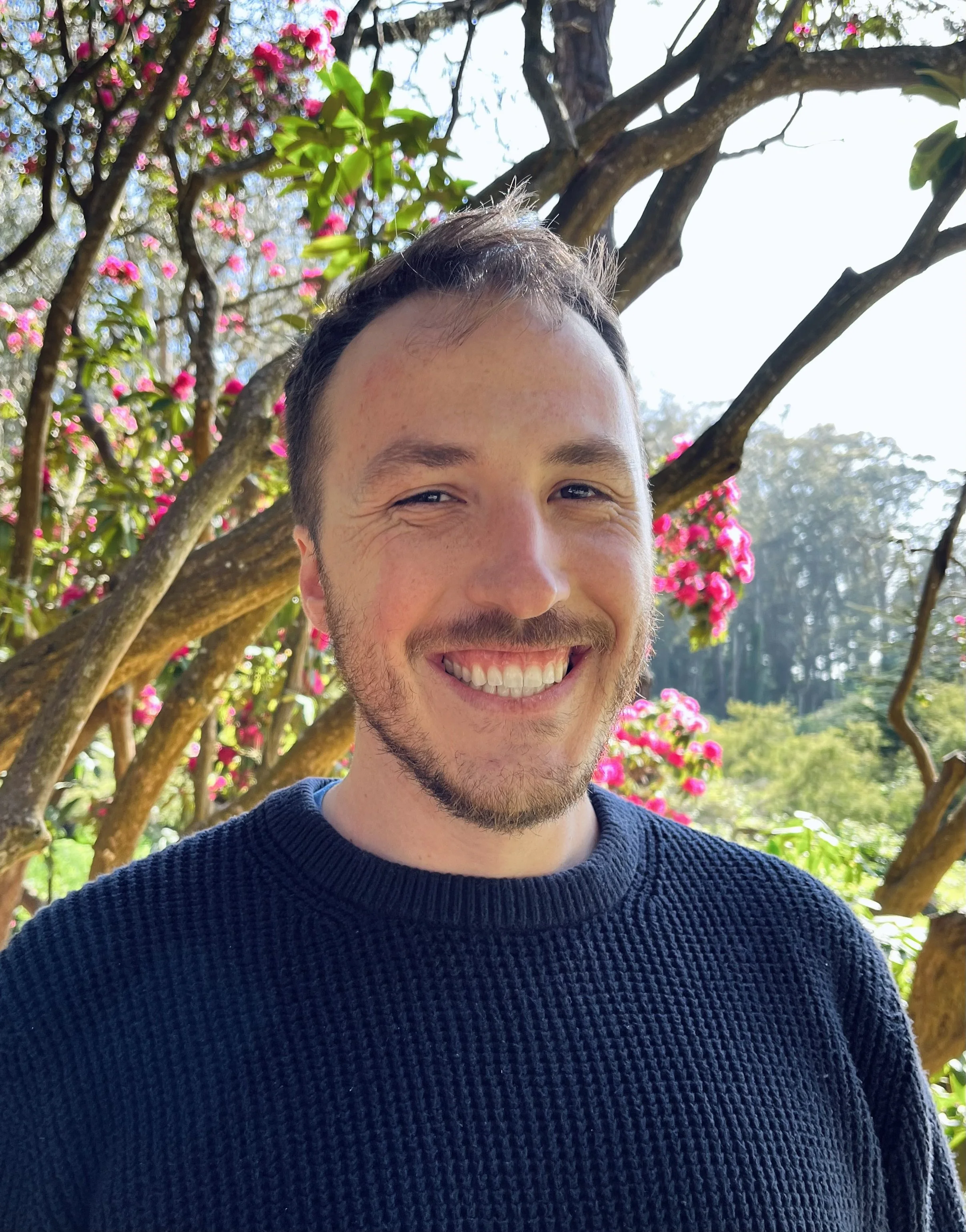
About me
My name is Brandon Guyton and I specialize in GIS, currently working for a small town government in the Bay Area. I have a background in data management, working with both geospatial data and tabular data, as well as project management. Over the years, I have worked for city governments, private firms, non-profits, and in research to leverage GIS as a way to better understand the world around me.
One of the things that drives my interest in spatial data is looking at the ways in which that spatial data can be used to better visualize the world and can be used to change or improve people’s lives. Working in Americans with Disabilities Act (ADA) compliance for a number of years, I got to see firsthand how using spatial data can help different organizations to effectively visualize the changes needed and to take that and create a space that is more equitable and accessible. I want to extend this to other domains as well - to understand how to leverage spatial data using GIS to create models for a better world.
When I am not making maps, I like to get out and hike or to stay in and bake with my boyfriend.
